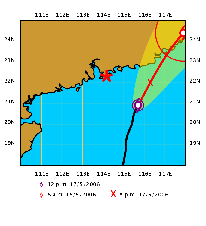
Let's see, Monday evening Hong Kong Observatory issued a Tropical Cylone Warning No. 1.
Tuesday? Most of the day was overcast with patches of very fine rain. It was only in the evening that the winds significantly picked up accompanied by the passage of light rain bands.
At daybreak this morning, Wednesday, the Observatory issued a No. 3 Warning.
(For language mavens. The Obs used to "raise" or "hoist" a warning. During a storm some poor blighter had to go out and hoist the appropriate big symbol up the flagpole at the weather station. When the weather station became "de-manned" and automated a few years ago there was nobody there and nothing to raise so they switched to "issue".)
For more information on Warnings: Definitions and Meanings: Hong Kong Observatory
Timing of the ebb and flow of the tide coupled with the storm surge means that around now some low-lying shore areas may be subject to flooding: Hong Kong tidal information (real time)

It's 23C, overcast, very windy with heavy rains.


No comments:
Post a Comment